Dynamic webpages

Please select a webpage

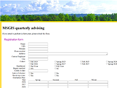
MSGIS quarterly advising

MSGIS quarterly advising

Submit the MSGIS quarterly advising form regarding graduation plan.

Instructions:

  • Fill the form and click submit button
  • Afterwards, a record is inserted into the database and an email is sent to the teaching staff.

Fig inventory

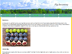
Fig inventory

Introduction of different types of figs and fig tree distribution map

Features:

  • Introduce fig types: adriatic, black mission, brown turkey, calimyrna, and kadota
  • Insert fig tree record into the database
  • Show fig tree records from the database
  • Show fig tree distribution in a map

Dynamic webpages

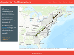
Appalachian Trail Reservations

Search, explore, and reserve campsites along Appalachian Trail, with a web map of campsites, parks and states.

Features:

  • Campsite, park, and state map on the home page
  • Search campsites in a state or a specific park
  • View campsite reservations
  • Reserve campsites

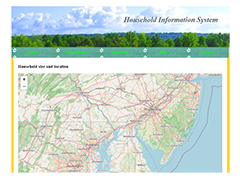
Household information system

Household information system

Household information system collects household information with a web form and show the results in a table and a map.

Features:

  • Report household information
  • Show household records
  • Show household distributions in a map.

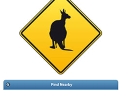
Wildlife vehicle collision management

Wildlife vehicle collision management

Wildlife vehicle collision management includes find nearby facilities, report and show vehicle collision records.

Features:

  • Search nearby facilities and the route to it.
  • Report vehicle collisions
  • Show collision list and map

Dynamic webpages

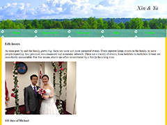
Xin & Ya

Report family events for Xin and Ya, show events in a table and a map.

Features:

  • Report an event
  • Show event list
  • Show event locations in a map

Dynamic webpages

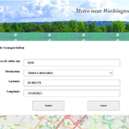
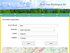
Metro near Washington DC

Search route from current location to a metro station, show different metro lines in a table and a map.

Features:

  • Search the metro route to a destination
  • Show metro stations in green, red, yellow, orange, red and silver line
  • Show metro stations in a map

Dynamic webpages

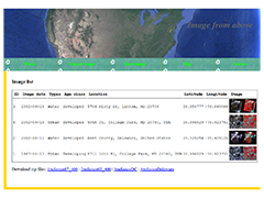
Image from above

Report, view, and show the image date, type, location, latitude, and longitude of remote sensed images, with sample data for download.

Features:

  • Report remote sensed images
  • Show image information, with downloads for six-band radiance data
  • Show the location of remotely sensed images, with clickable image thumbnail to show full image
  • A contact form for you to contact me.